Fellowships
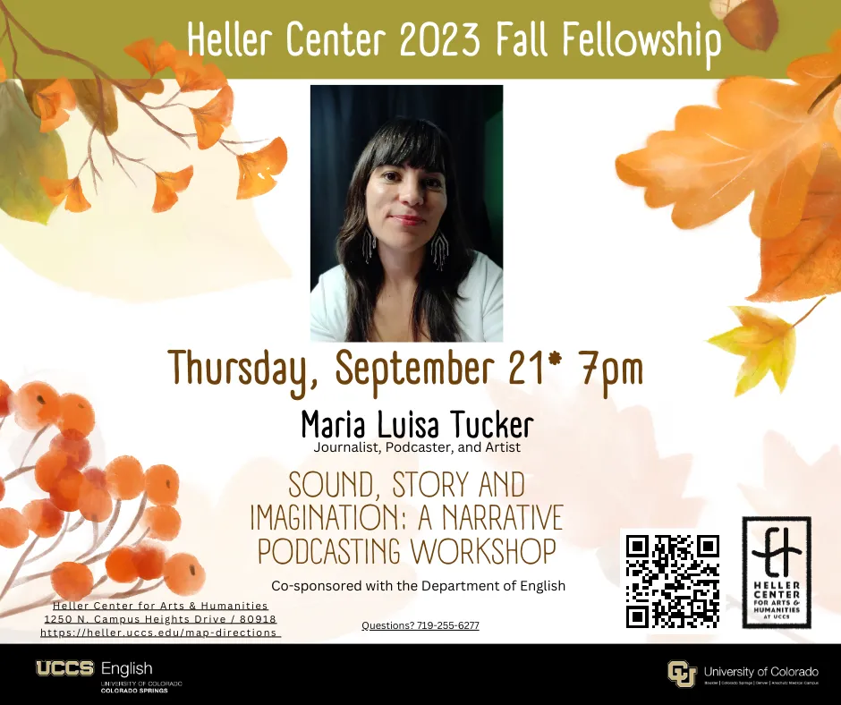
Thursday, October 9 * 7pm
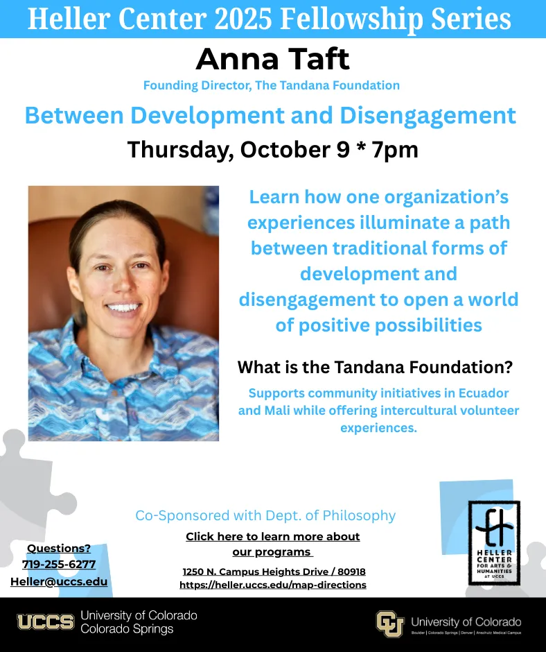
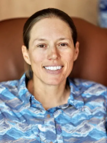
Anna Taft
Founding Director, The Tandana Foundation
Between Development and Disengagement
International development has often failed to reach its objectives and sometimes even caused harm to the communities it is supposed to benefit. Aware of these problems, some North Americans choose to disengage from transnational work. But the reality is that we cannot avoid participating in global networks that affect people in many countries, and there are vast inequalities in access to resources that need to be addressed. By starting with a first person perspective, taking the relational morality that emerges from face to face encounters as a guide, and prioritizing interaction and discussion over making a predetermined product, we can avoid the dangers of dominant forms of development and generate positive change as communities improve on their own terms, gain sources of pride, and strengthen some aspects of their cultures while choosing to change others. Through experiences with intercultural collaboration, people often enhance and experience their effectiveness, grow in awareness of themselves, each other, and the human condition, and form friendships. Learn how the experiences of one organization illuminate a path between traditional forms of development and disengagement, opening a world of positive possibilities.
After graduating from high school in Ohio, Anna spent four months in Panecillo, Ecuador, where she taught at an elementary school and built the connections that inspired her to start The Tandana Foundation. She earned a bachelor’s degree from Whitman College with honors in Politics and a minor in environmental studies. After graduation, she worked for The Traveling School, teaching Spanish, history and literature to high-school students in the Andes and New Zealand.
Anna founded Tandana to increase opportunities for intercultural sharing and promote achievement of community goals. She holds a Master of Arts in Liberal Studies from Skidmore College, with a focus on Morality in a Pluralistic World and speaks English, Spanish, French, conversational Kichwa, and some Tommoso. Her book, Climbing Together: Relational Morality and Meaningful Action in Intercultural Community Engagement (Brill 2024) articulates the philosophy behind The Tandana Foundation’s work.
Thursday, April 9 * 7pm
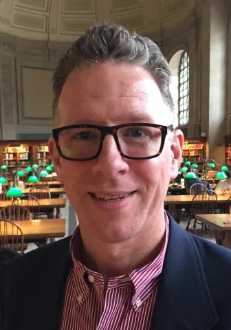
Charlie Frye
CHIEF CARTOGRAPHER, ESRI, INC.
The Role of Geography and Maps in "The American Revolution"
A Film by Ken Burns, Sarah Botstein, & David Schmidt.
For over twenty years Mr. Frye has been developing a repository that helps anyone who wishes to make a map set in North America during the American Revolution. He would like to broaden the appeal of this repository by collaborating with anyone wishing to research and contribute features to make the repository fit for an increasingly wider audience. While many people are fascinated by maps, few understand the cartographic or the technical methods required to construct geographic information systems. This repository would serve as an opportunity to explore both the spatial aspects of the American Revolution and the basis to develop methods to create similar repositories for other historical periods or events.
Mr. Frye historical interests run in two directions. The first is personal and centers on Colonial America during the American Revolution which broadly encompasses mapping the changes to North America from 1607 through 1784. In that context Mr. Frye also writes historical novels set during the American Revolution, which is what spurred his interest in creating a geographic information system and maps set during the period 1775-1784. The second is in the context of his role at Esri where Mr. Frye has for over twenty years pioneered methods for using GIS to undertake inventorying and mapping historical features and then to leverage and synthesize those maps to support narrative development. Much of this work remains unpublished and Mr. Frye has recently begun to work with Esri’s Education Teams to publish this work.
Over the past few years, Mr. Frye has been serving as a consultant to Ken Burns’ upcoming film on the American Revolution. He noted that every time he has been asked by Ken Burns’ staff to review a map or to analyze the geographic situation of an event, he ends up adding new features based on new manuscripts. For instance, in mapping the routes that Generals Cornwallis and Gates took to Camden, he learned about places that were missing on the first drafts, that existed and should be added, including roads, plantations, and towns.
This residency presents an opportunity to test collaboration techniques and document successful efforts. For instance, Mr. Frye proposes mapping native American settlements and territories in 1775, including in Colorado and other places not yet designated as territories. Mr. Frye has been thinking about this topic at Esri for over six months once he set a direction for what he hoped to do with the collection of GIS layers and maps he has worked on for his books.
Co-Sponsored with Dept. Geography and Environmental Studies
Past Fellowship Series